
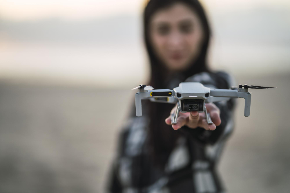
Accurate positioning is the foundation of professional drone operations. Whether mapping land, inspecting infrastructure, or surveying construction sites, positional accuracy directly impacts decision-making.
This is where GNSS and RTK technology come into play.
What Is GNSS?
GNSS (Global Navigation Satellite System) refers to satellite-based positioning systems that determine location on Earth. Standard GPS is accurate to a few metres, which is insufficient for most professional applications.
The Role of RTK
RTK (Real-Time Kinematic) positioning dramatically improves accuracy by correcting satellite signal errors in real time.
RTK-enabled systems deliver:
- Centimetre-level accuracy
- Repeatable flight paths
- Reliable geospatial data
Why Accuracy Matters
In professional workflows, small errors create large problems:
- Inaccurate maps lead to costly mistakes
- Misaligned data affects planning and compliance
- Repeat surveys become unreliable
GNSS and RTK ensure that drone data aligns precisely with real-world coordinates.
In professional workflows, small errors create large problems:
- Inaccurate maps lead to costly mistakes
- Misaligned data affects planning and compliance
- Repeat surveys become unreliable
integrating GNSS with Drones
Modern drone operations often combine:
- RTK-enabled drones
- GNSS base stations
- Survey-grade receivers
This integration enables seamless data capture across aerial and ground-based workflows.
A Requirement, Not an Upgrade
For industries such as surveying, construction, agriculture, and environmental monitoring, precision positioning is not optional — it is essential.
Investing in accurate positioning technology protects data integrity, improves efficiency, and supports confident decision-making.