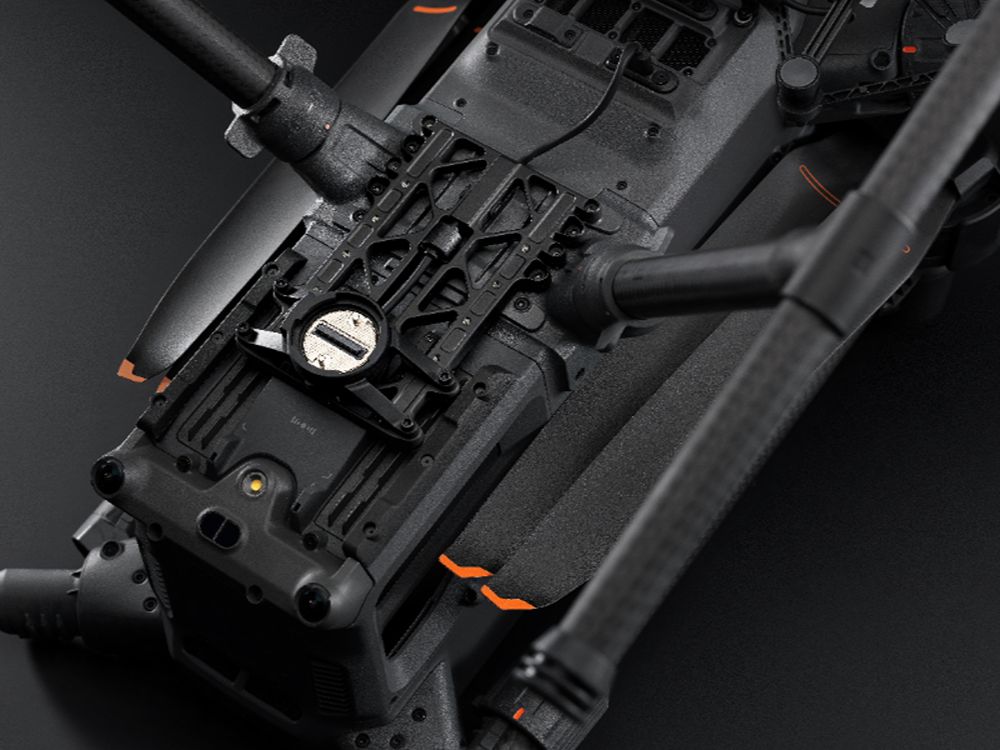
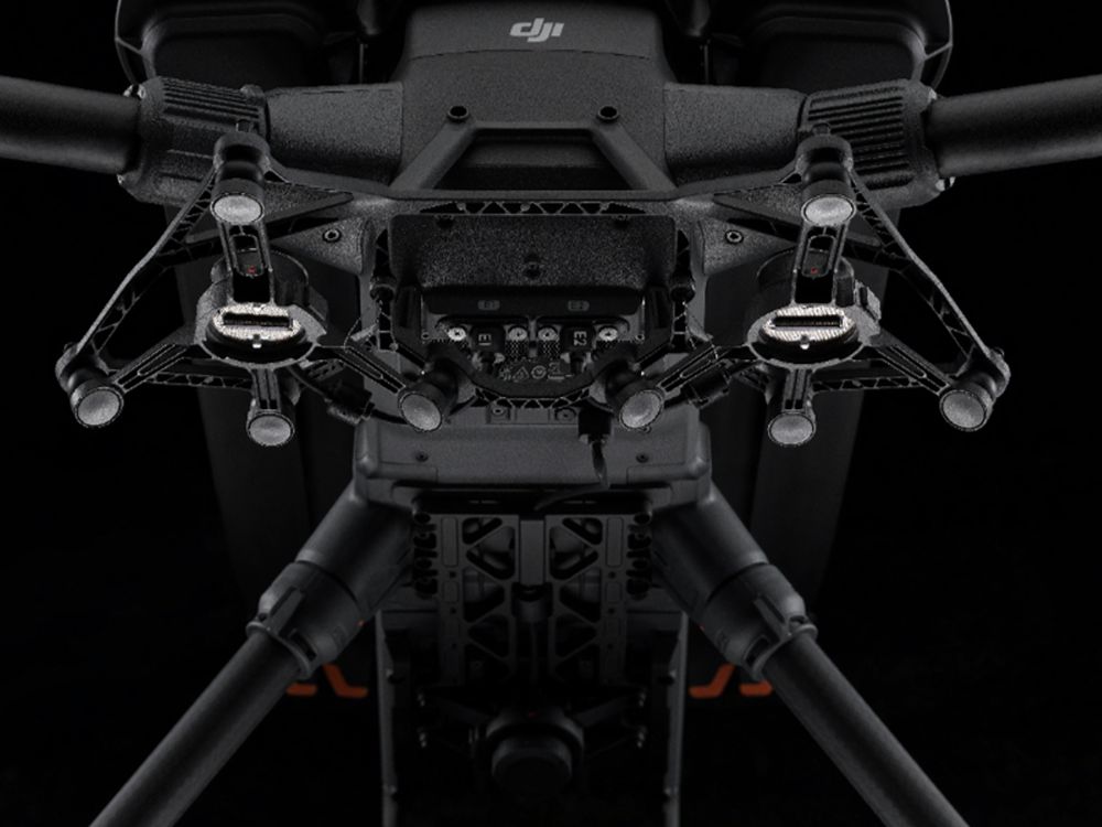
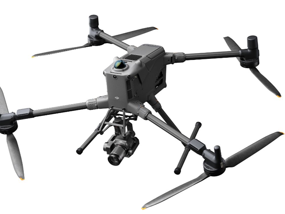
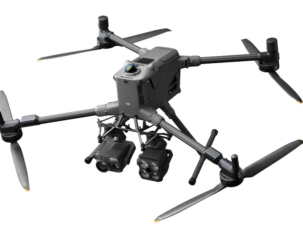
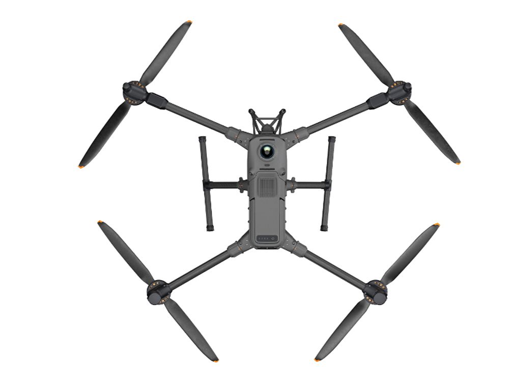
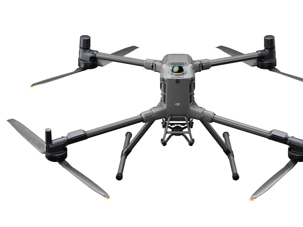
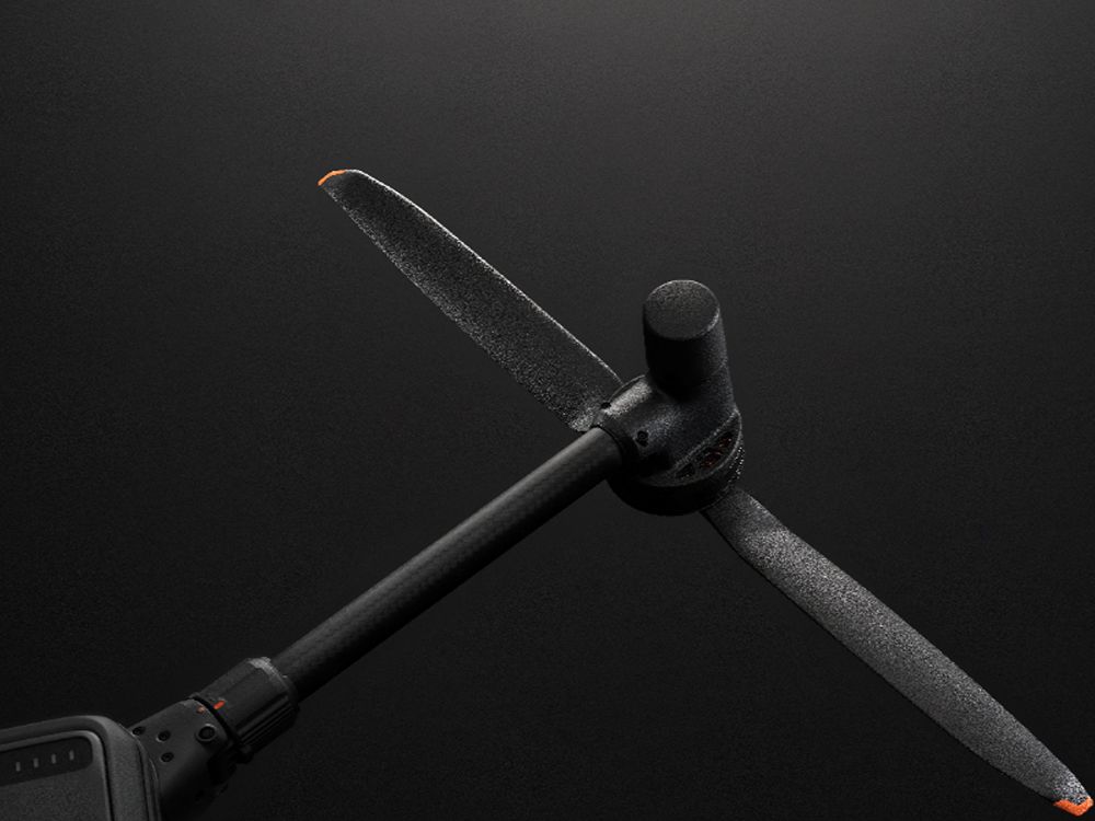
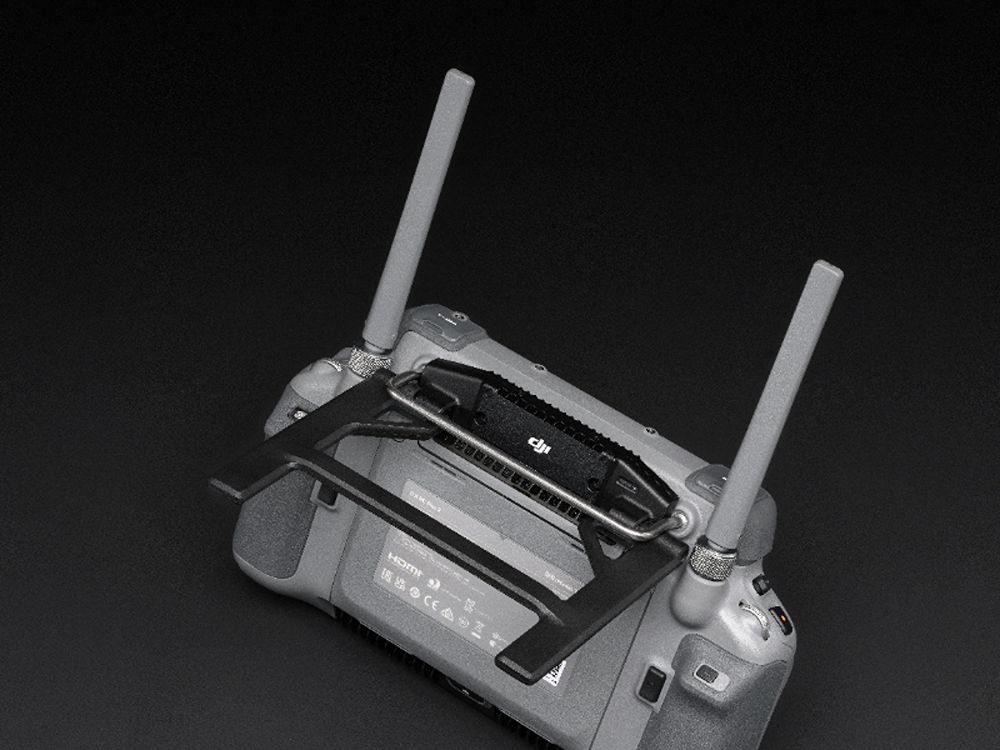
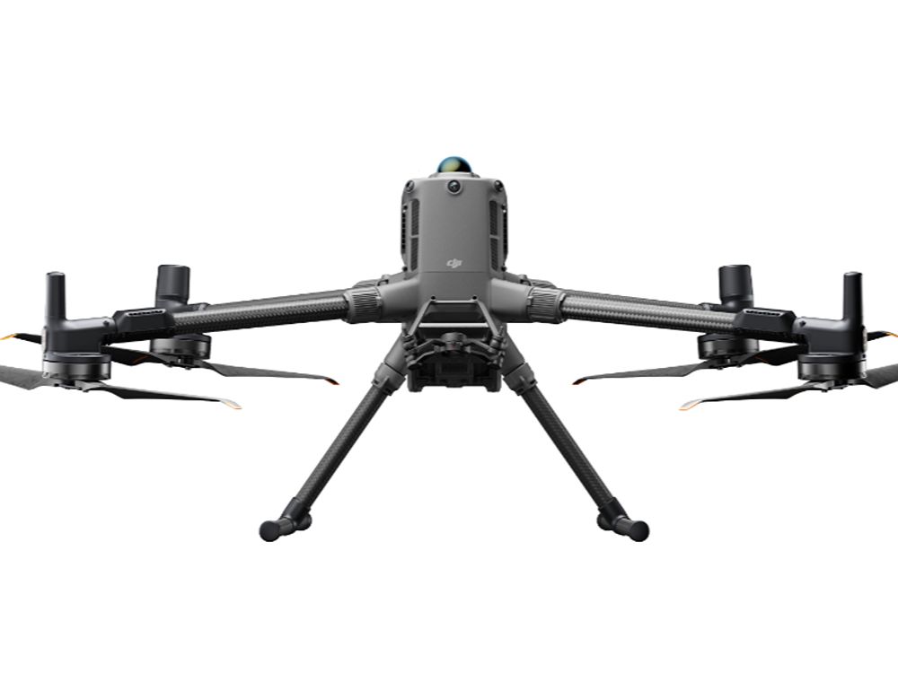
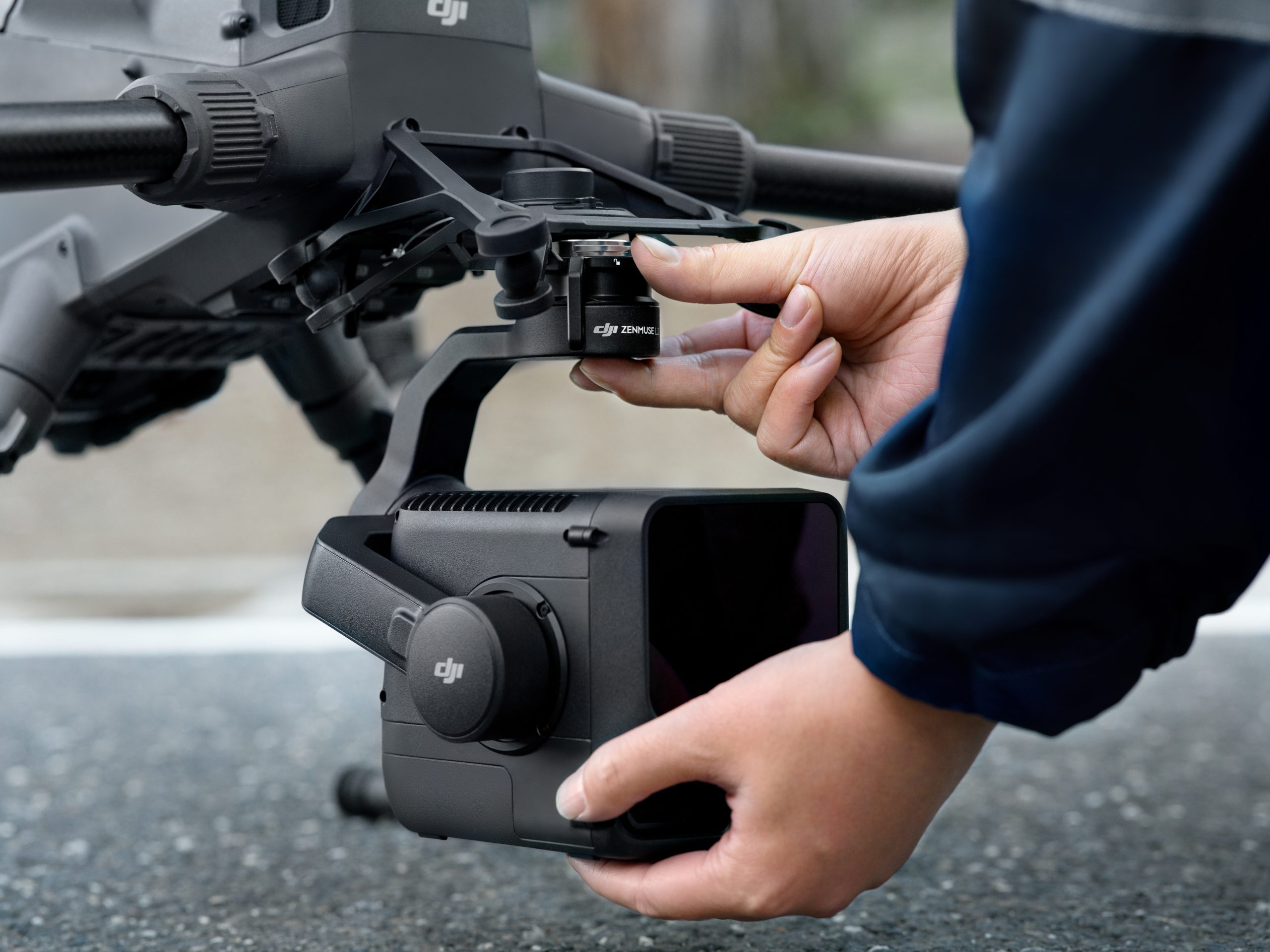
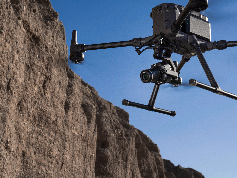
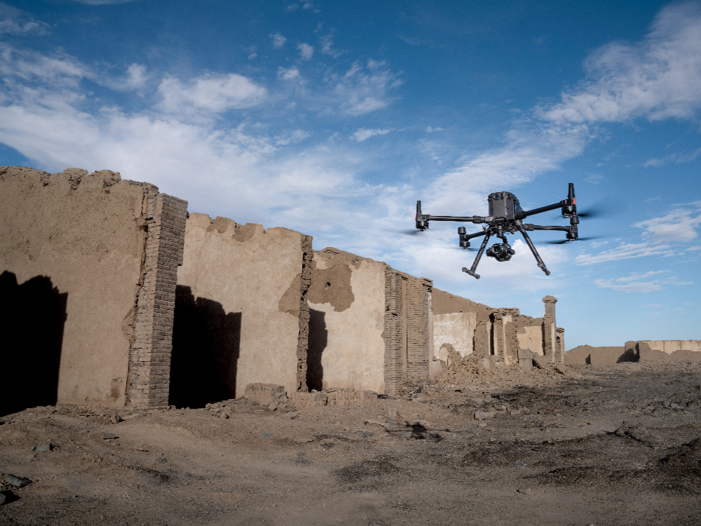
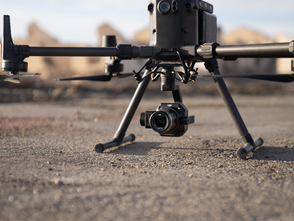
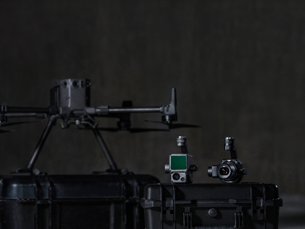
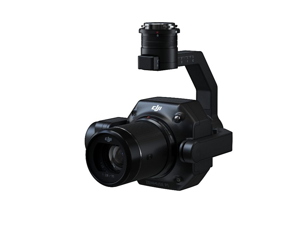
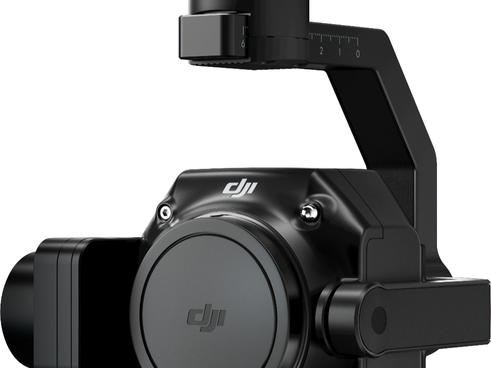
Precision GNSS receivers and surveying tools can be deployed across mapping, construction, and geospatial workflows to enhance accuracy and efficiency. These solutions include high-precision positioning systems, base and rover units, and advanced data capture tools designed for reliable field performance. Each system is built to collect accurate spatial data and support targeted surveying functions, enabling efficient mapping, site planning, measurement, and geospatial analysis across a wide range of professional applications